The City of Manila is located on the eastern shore of Manila Bay and is bordered by the cities of Navotas and Caloocan to the north; Quezon City to the northeast; San Juan and Mandaluyong to the east; Makati to the southeast, and Pasay to the south.
Manila has a total population of 1,652,171 according to the 2010 census and is the second most populous city in the Philippines, behind Quezon City. The populace inhabit an area of only 38.55 square kilometers, making Manila the most densely populated city in the world.
The city is divided into six legislative districts and consists of sixteen areas: Binondo, Ermita, Intramuros, Malate, Paco, Pandacan, Port Area, Quiapo, Sampaloc, San Andres, San Miguel, San Nicolas, Santa Ana, Santa Cruz, Santa Mesa and Tondo. Bustling commerce and some of the most historically and culturally significant iconic landmarks in the country, as well as the seat of the executive and judicial branches of the government are found in the city. Manila is also home to many scientific and educational institutions, numerous sport facilities, and other culturally and historically significant venues.
Listed as a global city, Manila has its strengths in the arts, commerce, education, entertainment, finance, healthcare, media, professional services, research and development, tourism and transport making it the historical, cultural, political, economic and educational center of the Philippines.
The earliest written account of the city is the 10th-century Laguna Copperplate Inscription which describes a context of an Indianised kingdom maintaining diplomatic relations with the Kingdom of Medang. The city was invaded by Brunei's Sultan Bolkiah and was already Islamized by the 15th century when the Spanish Conquistadors first arrived. Manila eventually became the center of Spanish activity in the Far East and one end of the Manila-Acapulco Galleon trade route linking Latin America and Asia.
The city would eventually be given the moniker of the "Pearl of the Orient", as a result of its central location in the vital Pacific sea trade routes. Several Chinese insurrections, local revolts, a British Occupation and a Sepoy mutiny also occurred shortly thereafter. Manila also saw the rise of the Philippine Revolution which was followed by the arrival of the Americans who made contributions to the city's urban planning and development only to have most of those improvements lost in the devastation of World War II. Since then the city has been rebuilt.
Islamic Epoch
During the reign of Sultan Bolkiah in 1485 to 1521, the Sultanate of Brunei attempted to break Tondo's monopoly in the China trade by attacking it and establishing the state of Selurong (now Manila) as a Bruneian satellite state. A new dynasty under the Islamized Rajah Salalila was also established to challenge the House of Lakandula in Tondo. Islam was further strengthened by the arrival of traders and proselytizers from Malaysia and Indonesia. Manila was temporarily threatened by the invasion of Chinese pirate-warlord Limahong before it became the seat of the colonial government of Spain.
Hispanic Era
On June 24, 1571, Spanish conquistador Miguel López de Legazpi exercised rule of the Spanish city of Manila with the establishment of a city council in what today is the district of Intramuros. Manila was made the capital of the Spanish East Indies and of the Philippine Islands, which the empire would control for the next three centuries, from 1565 to 1898.The city was occupied by Great Britain for two years from 1762 to 1764 as part of the European Seven Years' War between Spain and France and Great Britain. The city remained the capital of the Philippines under the government of the provisional British governor, Dawsonne Drake, acting through the Mexican-born Archbishop of Manila, Manuel Rojo del Rio y Vieyra and the captive Audiencia Real. However, armed resistance to the British persisted, centered in Pampanga, and was led by Oidor Don Simón de Anda y Salazar.
Manila also became famous during the Manila-Acapulco Galleon trade which lasted for three centuries and brought goods from Mexico and Peru to Southeast Asia and vice versa. Silver that was mined in Mexico and Peru were exchanged for Chinese silk, Indian gems, and the spices of the Spanish East Indies
American Colonial Period
In 1898, after its defeat in the Spanish-American War, Spain ceded the Philippines to the United States, as well as several other territorial possessions, as part of the terms of the Treaty of Paris and a monetary exchange of $20 million. Immediately after liberation from Spain, between 1899 and 1902, Filipino revolutionaries would be involved in armed conflict with the American military in the Philippine–American War and would result in the deaths of as many as 1.5 million Filipino civilians and the dissolution of the First Philippine Republic.
Under American control, the new Insular Government headed by Governor-General William Howard Taft invited city planner Daniel Burnham for the transformation of Manila, to adapt the old city to changed times and modern needs. The Burnham Plan included development of the road system, the use of waterways for transportation, and beautification of Manila with the improvement of waterfronts, construction of parks, parkways and various building for various activities. The latter included a government center occupying all of Wallace Field, which extends from Luneta to the present Taft Avenue. The Philippine Capitol was to rise at the Taft Avenue end of the field, facing toward the sea, and would form, with the buildings of different government bureaus and departments, a quadrangle, lagoon in the center, and a monument to Jose Rizal at its Luneta end. Of Burnham’s proposed government center, only three units — the Legislative Building and the building of the Finance and Agricultural departments — were completed when World War II erupted
Japanese Occupation
Due to the Japanese occupation of the Philippines, American soldiers were ordered to withdraw from the city and all military installations were removed on December 24, 1941. General Douglas MacArthur declared Manila an open city to prevent further death and destruction; despite this, the Japanese warplanes continued to bomb the city. Manila was occupied by the Japanese forces on January 2, 1942.
Manila was also the site of the bloodiest battle in the Pacific theater during the Second World War. After falling to the Empire of Japan on January 2, 1942, it was recaptured by joint American and Filipino troops from February 3 to March 3, 1945. Some 100,000 civilians were killed in Manila in February 1945. It was the second most devastated city in the world after Warsaw during the Second World War. At the end of World War II, almost all of the structures in the city, particularly Intramuros, were destroyed but after the war, reconstruction took place
Manila was also the site of the bloodiest battle in the Pacific theater during the Second World War. After falling to the Empire of Japan on January 2, 1942, it was recaptured by joint American and Filipino troops from February 3 to March 3, 1945. Some 100,000 civilians were killed in Manila in February 1945. It was the second most devastated city in the world after Warsaw during the Second World War. At the end of World War II, almost all of the structures in the city, particularly Intramuros, were destroyed but after the war, reconstruction took place
Manila was also the site of the bloodiest battle in the Pacific theater during the Second World War. After falling to the Empire of Japan on January 2, 1942, it was recaptured by joint American and Filipino troops from February 3 to March 3, 1945. Some 100,000 civilians were killed in Manila in February 1945.[17] It was the second most devastated city in the world after Warsaw during the Second World War. At the end of World War II, almost all of the structures in the city, particularly Intramuros, were destroyed but after the war, reconstruction took place.
Sovereign Philippines
In 1948, President Elpidio Quirino moved the seat of government of the Philippines to Quezon City, a new capital city just outside Manila proper created in 1938 by former president Manuel L. Quezon, which was renamed after him. The move doomed the Burnham Plan for the government center at the Luneta.http://en.wikipedia.org/wiki/Manila#History


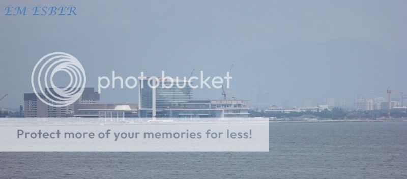

Mall of Asia complex at Pasay City

Mall of Asia complex at Pasay City

Mall of Asia complex at Pasay City


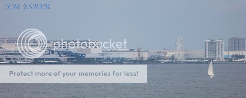
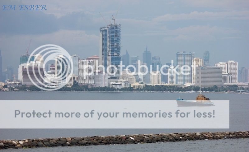
Near CCP complex


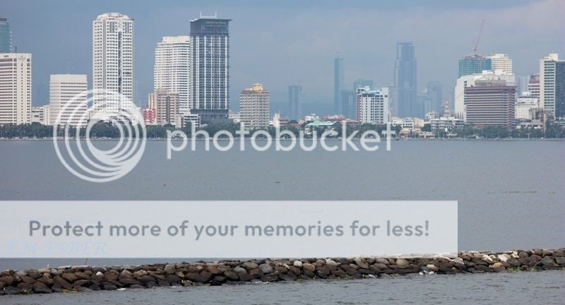
View of vicinity CCP complex and the Manila Yatch Club Basin

View of vicinity CCP complex and the Manila Yatch Club Basin

Cultural Center of the Philippines complex

Manila Yatch Club Basin and the Philippine Navy Headquarter
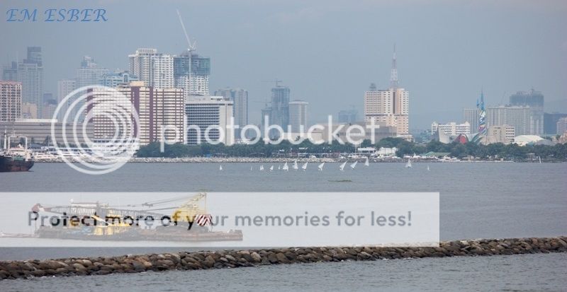
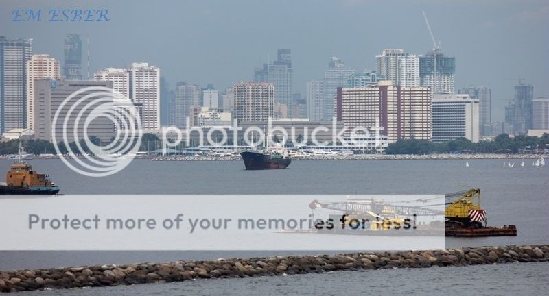
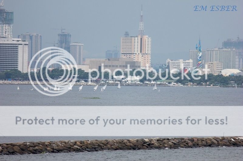
View of Roxas Boulevard


View of Roxas Boulevard

Manila Ocean Park and the U.S. Embassy complex


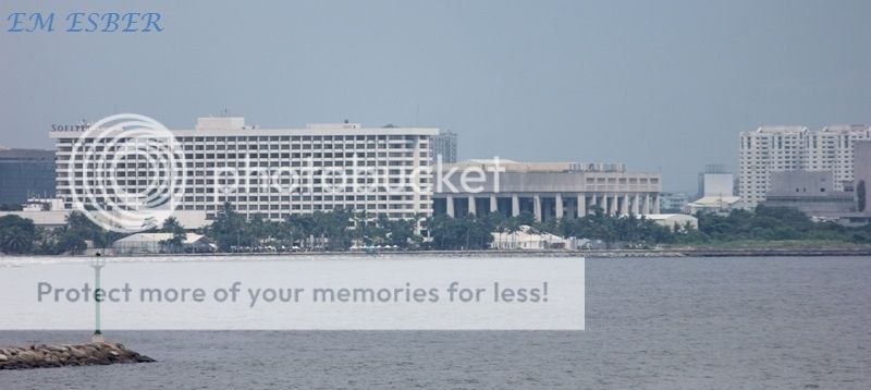
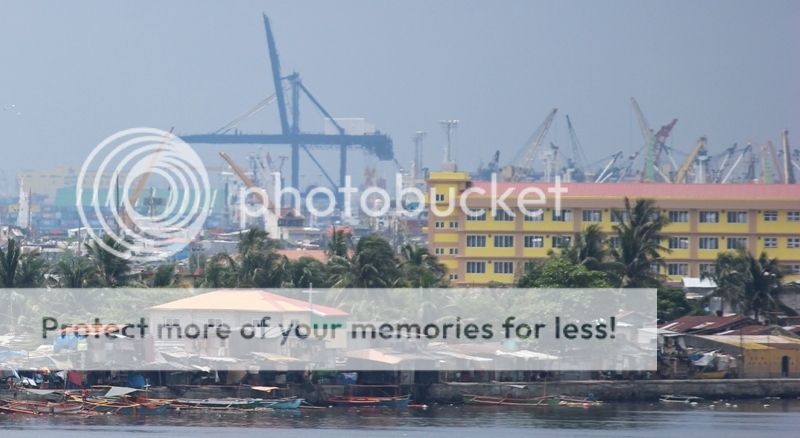
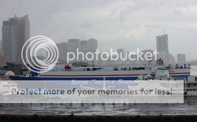
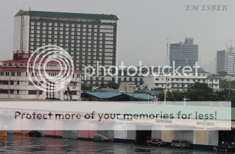
Manila Hotel and Pier 15 of South Harbor


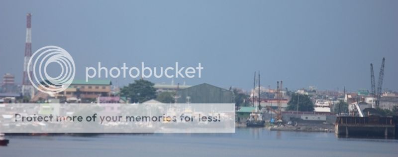
Pier 9

Pier 5


Pier 5

Pier 5

Pier 3 and Pier 5

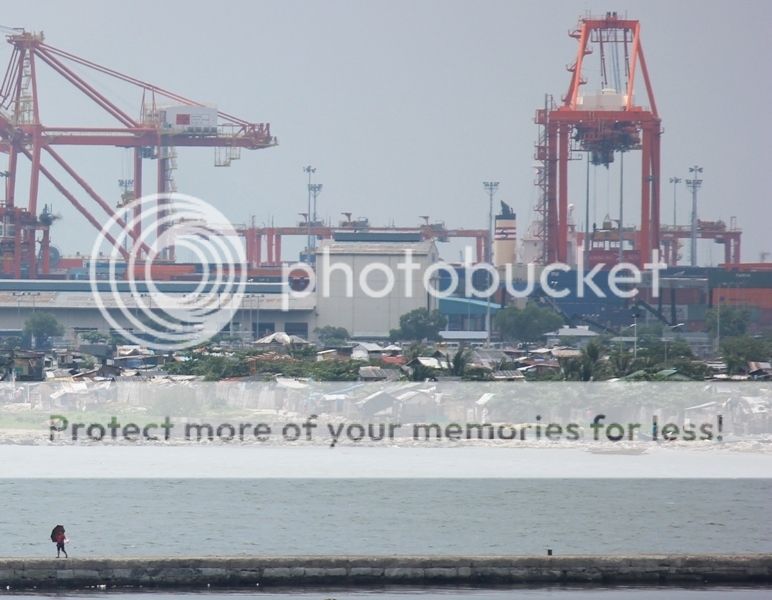
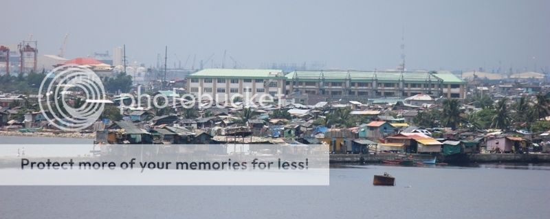
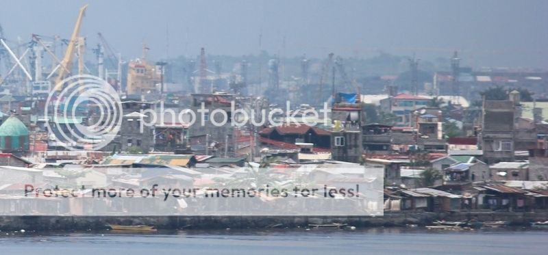
Baseco compound


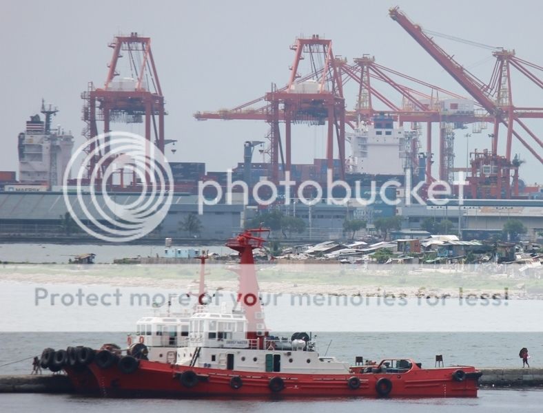
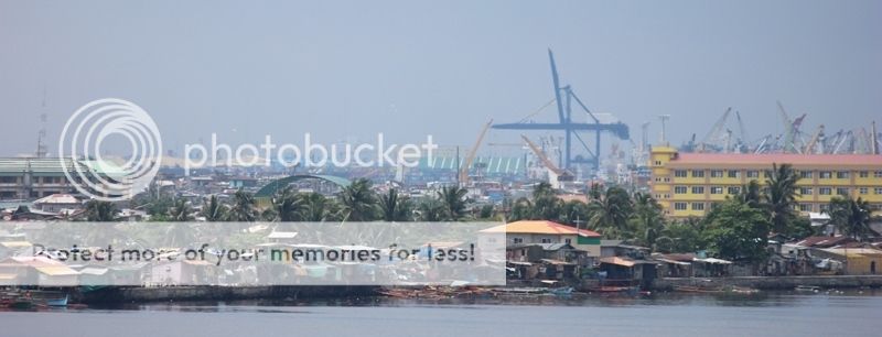
View of Baseco and Manila International Container Port

In between Baseco compound (south bank of Pasig River) and the MICT
on the north bank of Pasig River is the mouth of Pasig River.


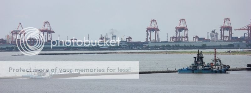
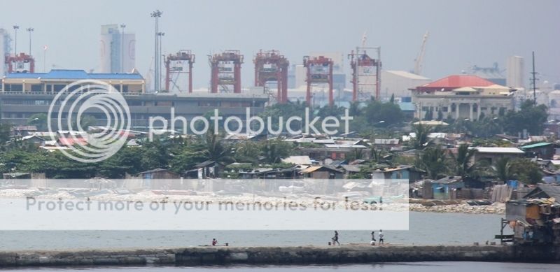
Manila International Container Terminal located on the north bank of Pasig River
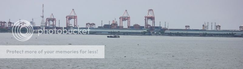
MICT

MICT


West Breakwater

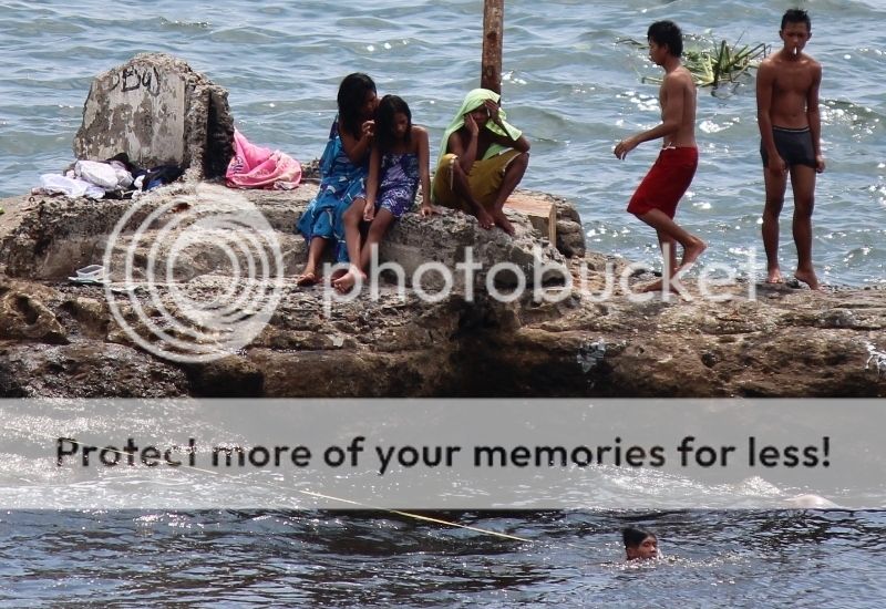


Baseco compound

There was a plan to convert the Baseco compound to a Container Yard.


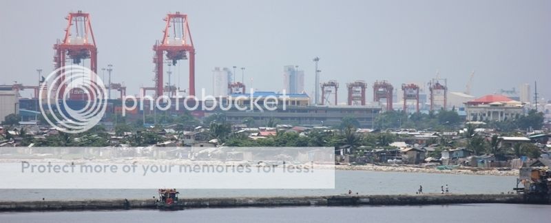


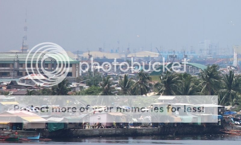


In-between Pier 3 and Baseco


ATTRIBUTION LICENSE
You may use the pictures in this
blog under an Attribution License. You are free to use, share and modify the
pictures found in this blog. Should you publish or otherwise reproduce for
distribution the pictures found here in digital or printed form you must place
a link to this blog or indicate the URL of this blog in your publication.
RELATED YOU TUBE VIDEOS
Mall of Asia to Port Area View from the Sea - 27th July 2013
Related Blog postings :
Views of
Skyline of Manila – 13th April 2013
Skyline of
Manila – View from Bayleaf Hotel
MV Eastern
Galaxy at South Port wharf – Harbour Center
Photo
Journal of Port of Manila
No comments:
Post a Comment