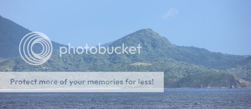
Camiguin Island de Babuyanes
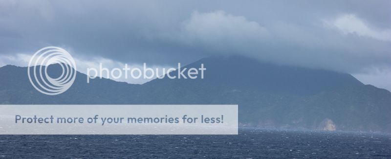
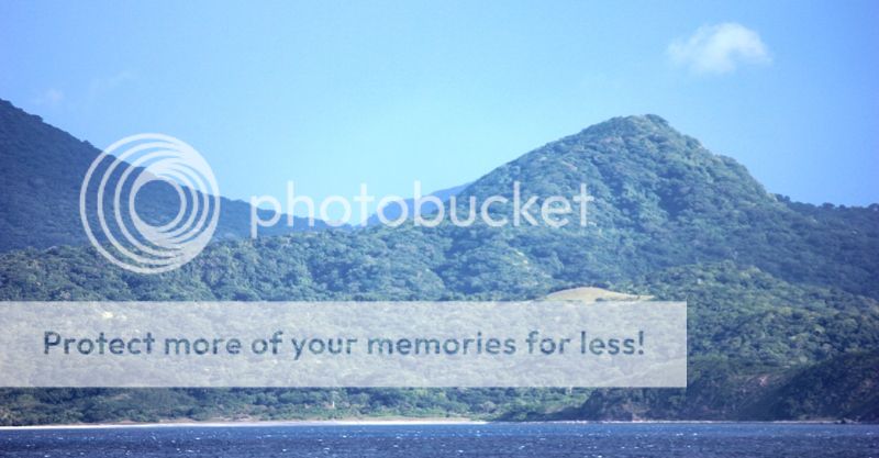
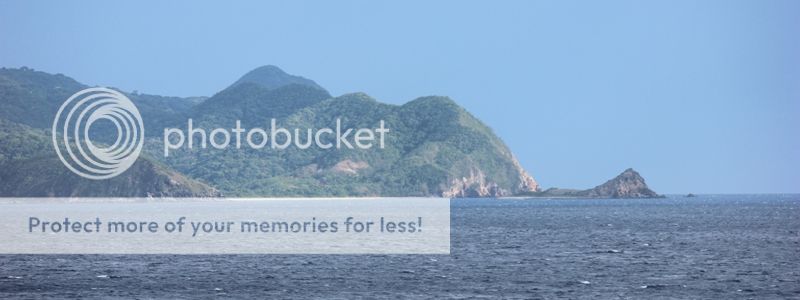
Camiguin Island
(18-55.0 North 121-55.0 East ) is the SE-most of the
Babuyan Island group, with Geulous Point it’s South
extremity. The island is
wooded and mountainous with it’s highest peak toward the NE
end; the highest
peak are frequently obscured by clouds. Mount Camiguin is an
active volcano.
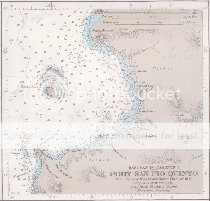
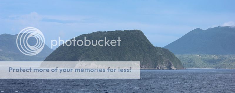
Port San Pio
Quinto on the west side of Camiguin island,
affords good shelter with Northeast winds, and it is the
only place in Babuyan
Islands where a large vessel can lie in reasonable
safety.


xx
51


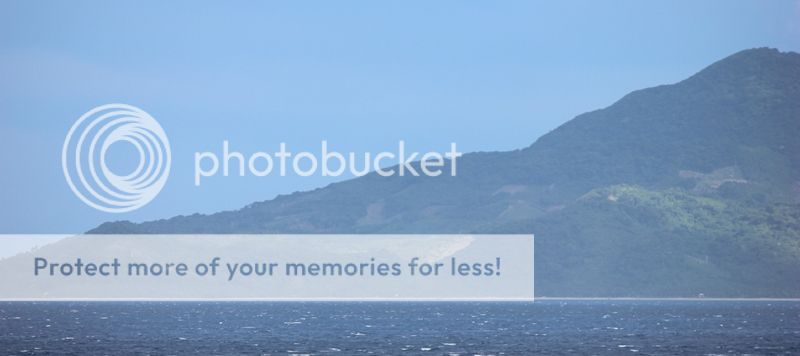
A Taiwan Chinese
ship siphoning black sand from Port San Pio Quinto
the
main port of
Camiguin Island.

Related Em Esber Blog :
Views of Balintang Island, Babuyan Island, Calayan Island,
and Dalupiri Island.
http://jibraelangel2blog.blogspot.jp/2013/07/views-of-balintang-island-babuyan.html
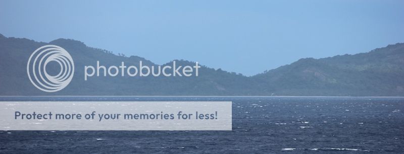
Sheltering
at Camiguin Island
http://jibraelangel2blog.blogspot.jp/2011/03/sheltering-at-camiguin-island-march-17.html
Sheltering at Port San Pio Quinto, Camiguin
island
http://jibraelangel2blog.blogspot.jp/2011_11_01_archive.html
Taiwanese Ship off the Coast of Camiguin at Babuyan Island
Siphoning Black Sand
http://www.timawa.net/forum/index.php?topic=35353.0
http://www.timawa.net/forum/index.php?topic=35353.0
The murky world of black sand mining in the
Babuyan Islands
http://www.gmanetwork.com/news/story/317101/scitech/science/the-murky-world-of-black-sand-mining-in-the-babuyan-islands
http://www.gmanetwork.com/news/story/317101/scitech/science/the-murky-world-of-black-sand-mining-in-the-babuyan-islands
YOUTUBE
VIDEOS
Illegal Black Sand Mining in Camiguin
Island.
View of
Balintang Island, Babuyan Island,
Calayan Island, and Dalupiri Island
Calayan Island, and Dalupiri Island
Last wild place
No comments:
Post a Comment